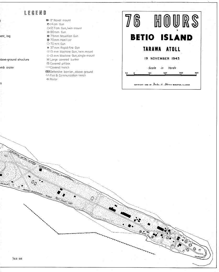
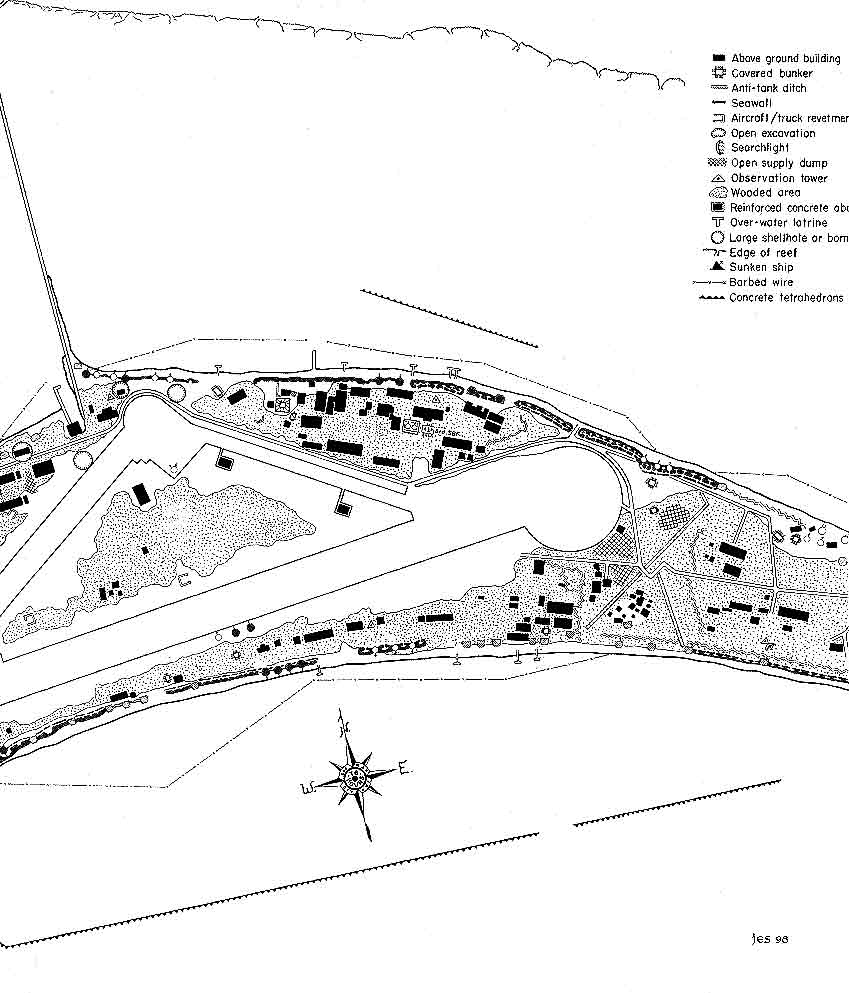
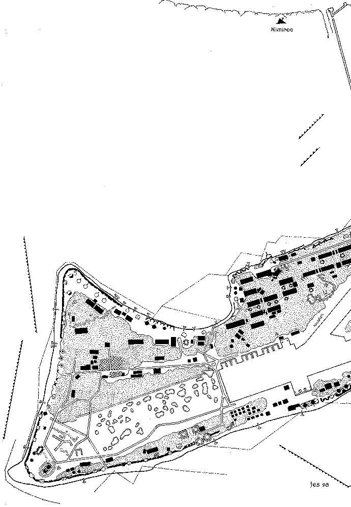
The original of this map was hand drawn by my father, Gordon Stevens, in 1968 as noted in the copyright information shown below in the title. My father was there at Tarawa and his experiences can be found in the "Leathernecks" area of Tarawa on the Web, under PFC Gordon Stevens. This map was published in the book,76 Hours: The invasion of Tarawa by Eric Hammel and John E. Lane and also in the new edition, Bloody Tarawa. Unfortunately the publishers cut the map into three sections for both editions of the book. However the map is still very useful in finding the various features of the Japanese defenses described in 76 Hours and the other Tarawa invasion literature. The full map is over two feet long and approximately one foot wide. The banner that appears at the bottom of each page is derived from this map. It is also in color making it much easier to find the different Japanese guns and emplacements. A copy of this map is available for those interested. Please follow this link to the Tarawa on the Web "Bookstore". Once again due to the size of these map sections they are very slow loading.


Click to see a section of the 76 Hours map:


Send an Email:
copyright 1999 T.O.T.W.
Created 21 August 1999 - Updated 8 October 2000

Return to Index